Meet our Watersheds
What is a Watershed?What is a Watershed?
A watershed is a geographic area of land that drains or “sheds” water into a specific waterbody.
Do I Live in a Watershed?
Yes, everyone lives in a watershed. All water/rainfall drains to a specific waterbody. Some water flows across the surface to form streams. Some water goes into the ground and is held in aquifers.
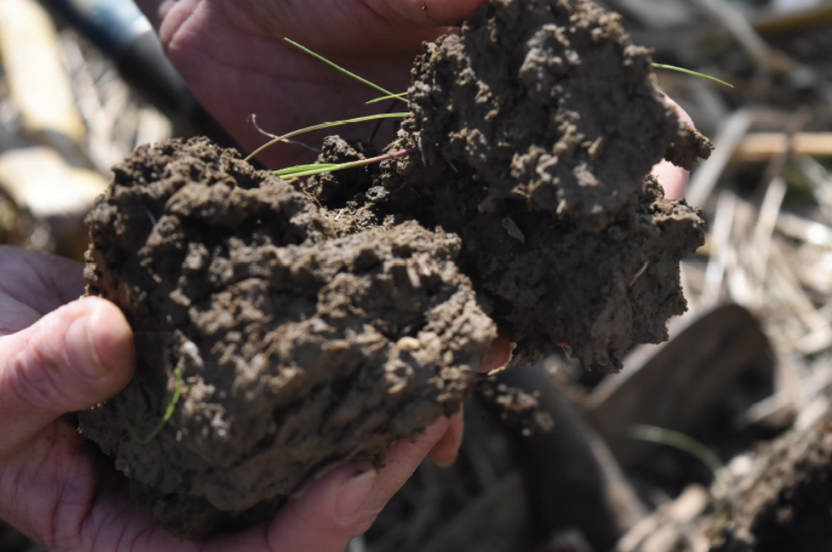
In Steuben County,unconsolidated deposits of glacial sands and gravels are the principle source of groundwater; the Howe Outwash Aquifer System and the Kendallville Aquifer System.
There are 2,110 watersheds in the lower 48 states.
How are Watersheds Classified?
Watersheds are delineated from largest to smallest. The largest are rivers such as the Mississippi. The smallest are local watersheds. They are delineated as HUC’s, or Hydrologic Unit Codes.

We All Live Downstream
Every place in the county is part of a watershed. If a ditch, stream, or river flows past your house, it keeps moving until it reaches the point where it empties. If we put garbage in a river or pollute a river, the garbage and pollution doesn’t go away. It keeps moving downstream.
People who study water say, “We all live downstream”. This means that the things we do to our water can affect people, plants, and animals that live downstream. In Steuben County, we are the “headwaters” or where the water originates for several watersheds. This means that anything we do to the water has an impact on everything downstream of us. This is why we need to be extra mindful of how we treat the water around us.
Steuben County Watersheds
An Overview
Water that falls and flows through Steuben County eventually drains into the Great Lakes Basin through one of two HUC watersheds, which are called Major Watersheds or HUC-8 watersheds. The two Major Watersheds includes The St. Joseph River (west) – Lake Michigan watershed (indicated in the pink boundary, which flows through South Bend, Indiana and drains into Lake Michigan) and The St. Joseph River (east) – Western Lake Erie Basin watershed (indicated by the blue boundary, which flows through Fort Wayne, Indiana and drains into Lake Erie.

Map provided by Kate Sanders, Indiana State Department of Agriculture
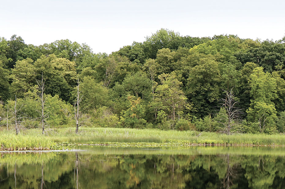
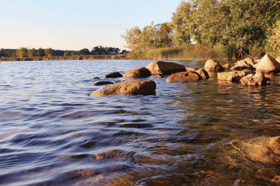
Special aquatic Steuben County homes

Fish Creek
Fish Creek near Hamilton, Indiana is home for 43 different species of fish and 31 species of mussels, three of which are federally endangered: the Clubshell, the Rayed bean, and the Rabbits foot mussel.

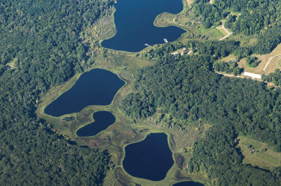
Failing Lake
The cisco fish is the only native salmon found in Indiana waters, outside of Lake Michigan. The glacial lakes of northern Indiana are at the southern edge of their North American range. Cisco occur in only seven Indiana Lakes, two of which are in Steuben County, Failing Lake (Gentian Lake of the Pokagon State Park Trine State Recreation Area) and Lake Gage.
Steuben County Waterways
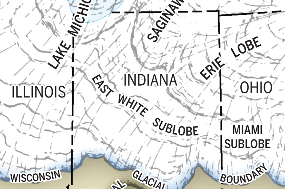
The Ice Age
The distinctive landscape of northern Indiana is a legacy of a continental glacier from the Wisconsin age.
The irregularly shaped hills, bogs, and lakes are underlain by an assortment of materials that melted from a rugged disintegrating ice sheet about 14,000 years ago.