Native Americans
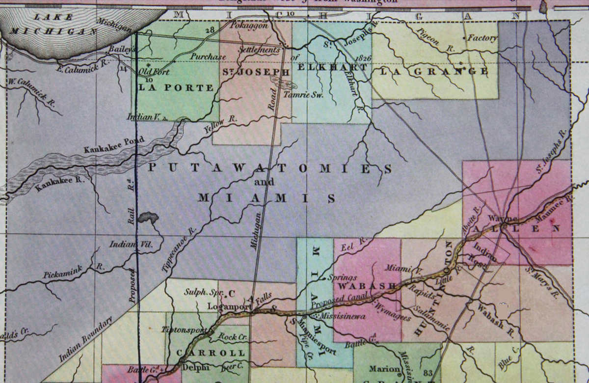
In the 1600s and 1700s most of the inhabitants were Native Americans. During this time, many Potawatomi and Miami indigenous people moved into the territory that would become Indiana, becoming its most prominent residents. The Potawatomi concentrated north of the Wabash River and along Lake Michigan.
They lived in-synch with the land and the seasons.
With the arrivals of European settlements, new alliances and lucrative trading developed, but also caused new conficts. The new setllers altered rivers and streams where the Potawatomi hunted and fished and cleared habitats to support Western-style agriculture. Potawatomi cultures began to fade away with the push of these settlers. Around 1800, the Potawatomi had formed five main villages, one of them led by Chief Leopold Pokagon. Through careful negotiation during the Chicago treaty of 1833, Leopold managed to maintain on hold on Midwestern land.
Water-Centered industries of the 1800s
Dams & Mills
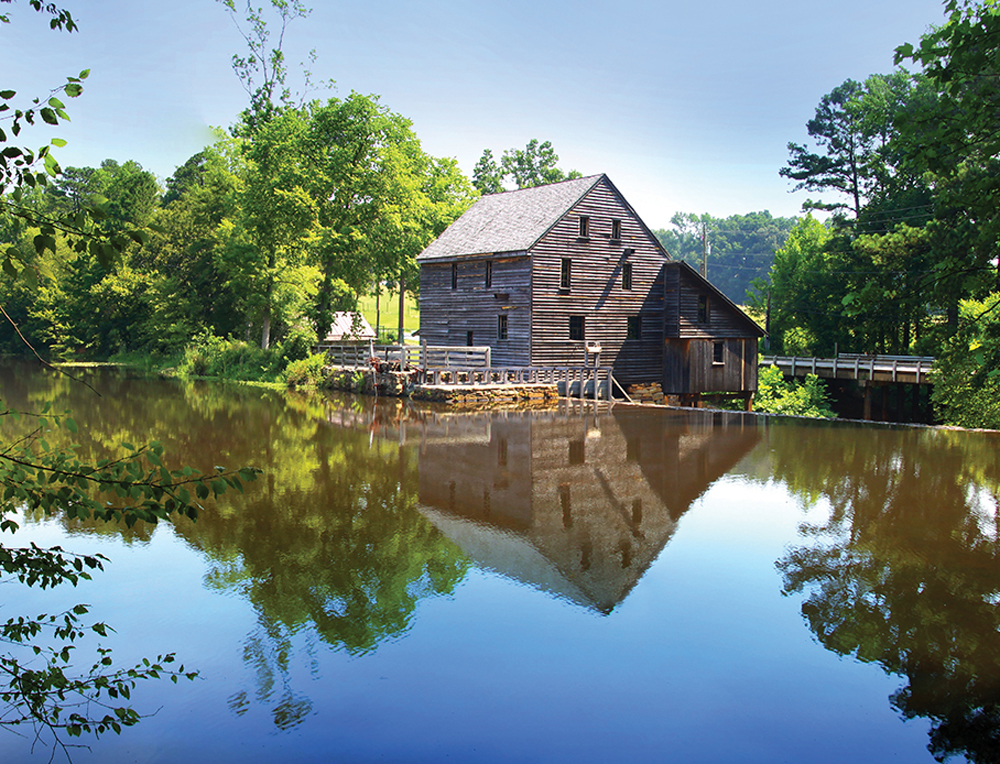
Nevada Mill & Sanderson Mill, Orland
Dams and mill ponds significantly changed things, running mills by generating power with the water. Dams made Jimmerson Lake 12 feet, Hamilton Lake 11 feet and Lake George four feet deeper. Flint, Alvarado, and other mill ponds were drained. Land was surveyed for marl for making cement.
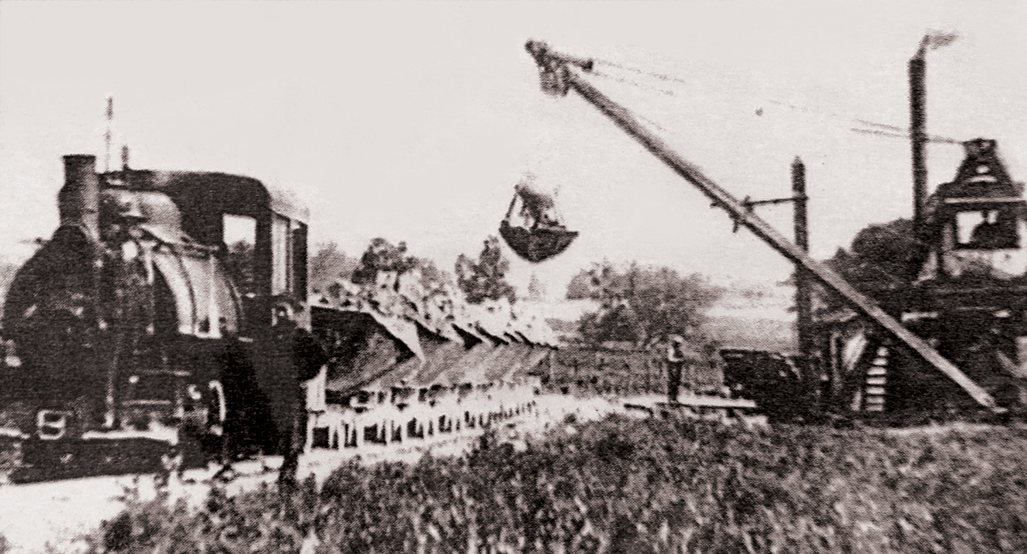
Portland Cement Factory ( 1899-1941 ) utilized the marl at Big and Little Turkey Lake to make cement. Many of their workers lived in Elmira and Stroh. There was a railroad that was built from Helmer fro this purpose.
Early Lake Leisure
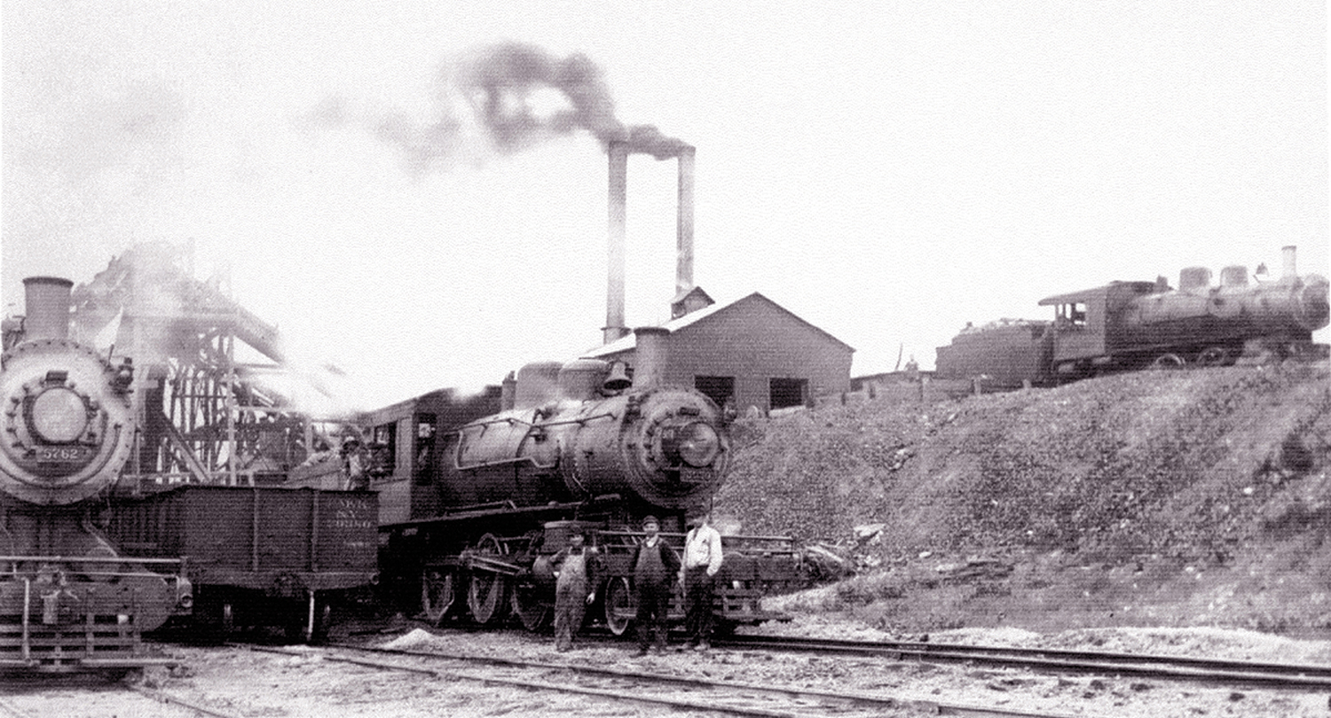
Railroads and hotels provided access to the Lakes. The St. Joseph Valley Railroad and Lake James Electric ushered locals and tourists to the lakes. There were ten hotels in Steuben County located in Pleasant Lake, Palty Town ( Lake James ), Crooked Lake, Clear Lake, Lake George and Lake Gage. The Fox Lake Resort Community on the South Shore was the first and only resort catering to African Americans established in Indiana. Its one of the only still in the Midwest. By the 1930s, dozen of cottages had been built.
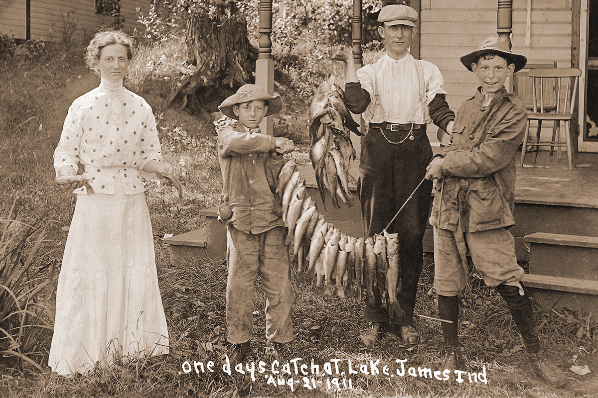
Photo courtesy Jim Somers
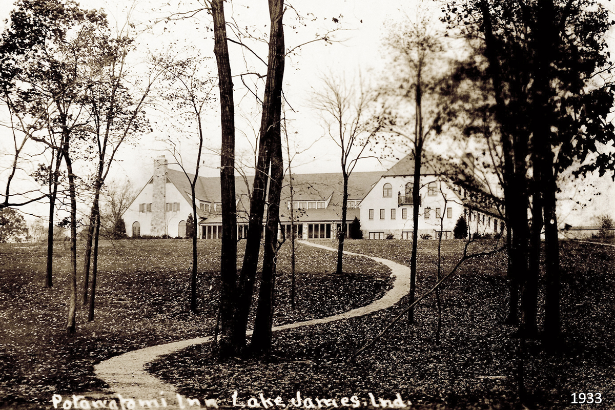
Photo courtesy digital.library.in.gov
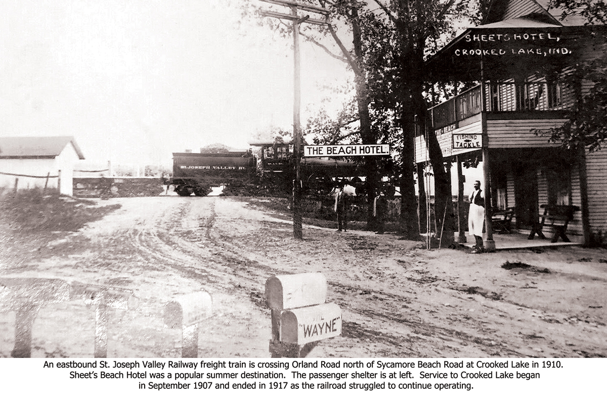
Photo courtesy digital.library.in.gov
increase from 35,000 to approximately 110,000 in the summer.
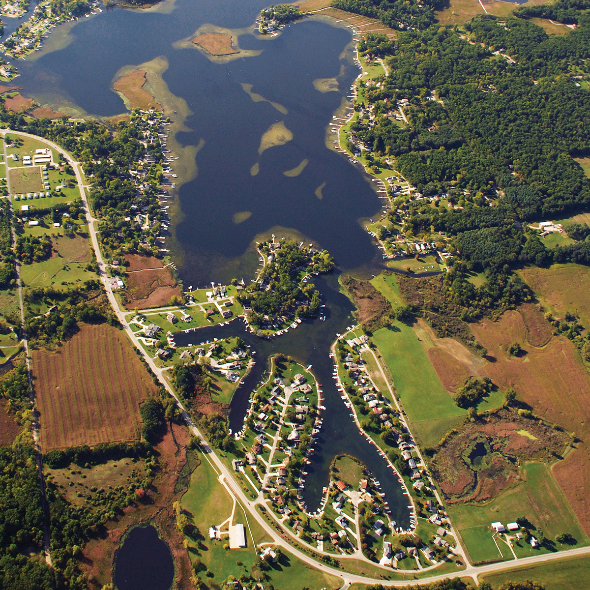
Channels on North Snow Bay
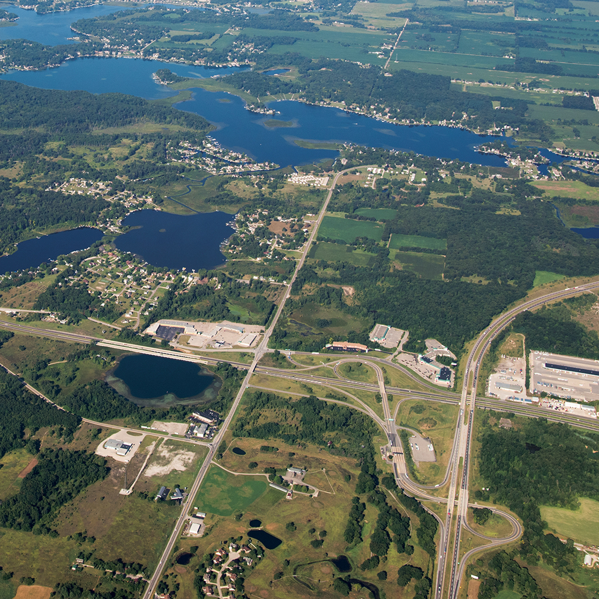
Interstate I-69 and Indiana Toll Road
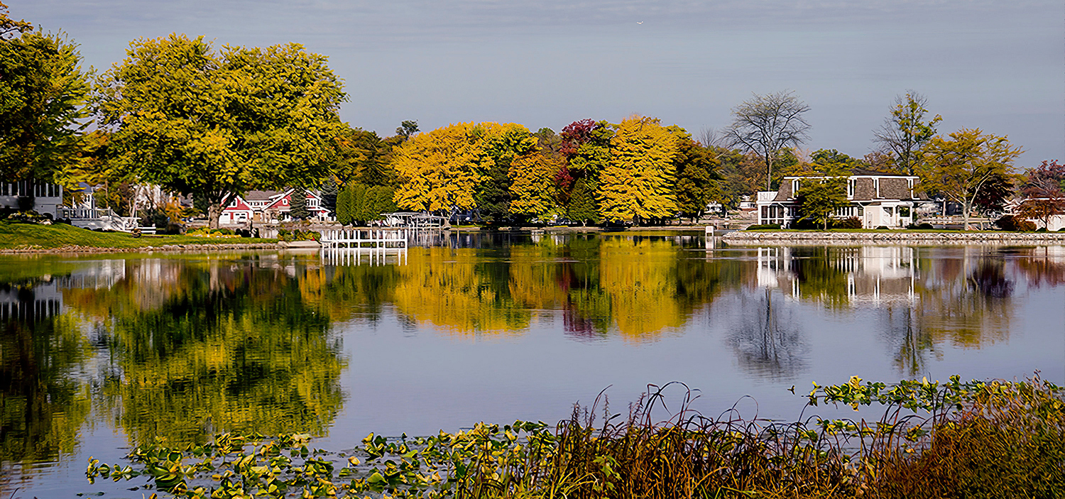
Autumn Scene a Hamilton Lake
30,000 – 15,000 years ago at the end of the Ice Age
First humans to settle in North America migrated across a land bridge along the Bering Strait toland called Alaska now.
Some descendants of the first North American immigrants settled in what became Indiana, a land that provided abundant animal life. Which included mastodons, lush forests, and rivers teeming with fish. Eventually the early people grew crops. The rich soil and long, hot summers were ideal for growing corn, which became a staple of their diet.
Mid 1700’s
1800’s
1816
Indiana becomes a State.
1831
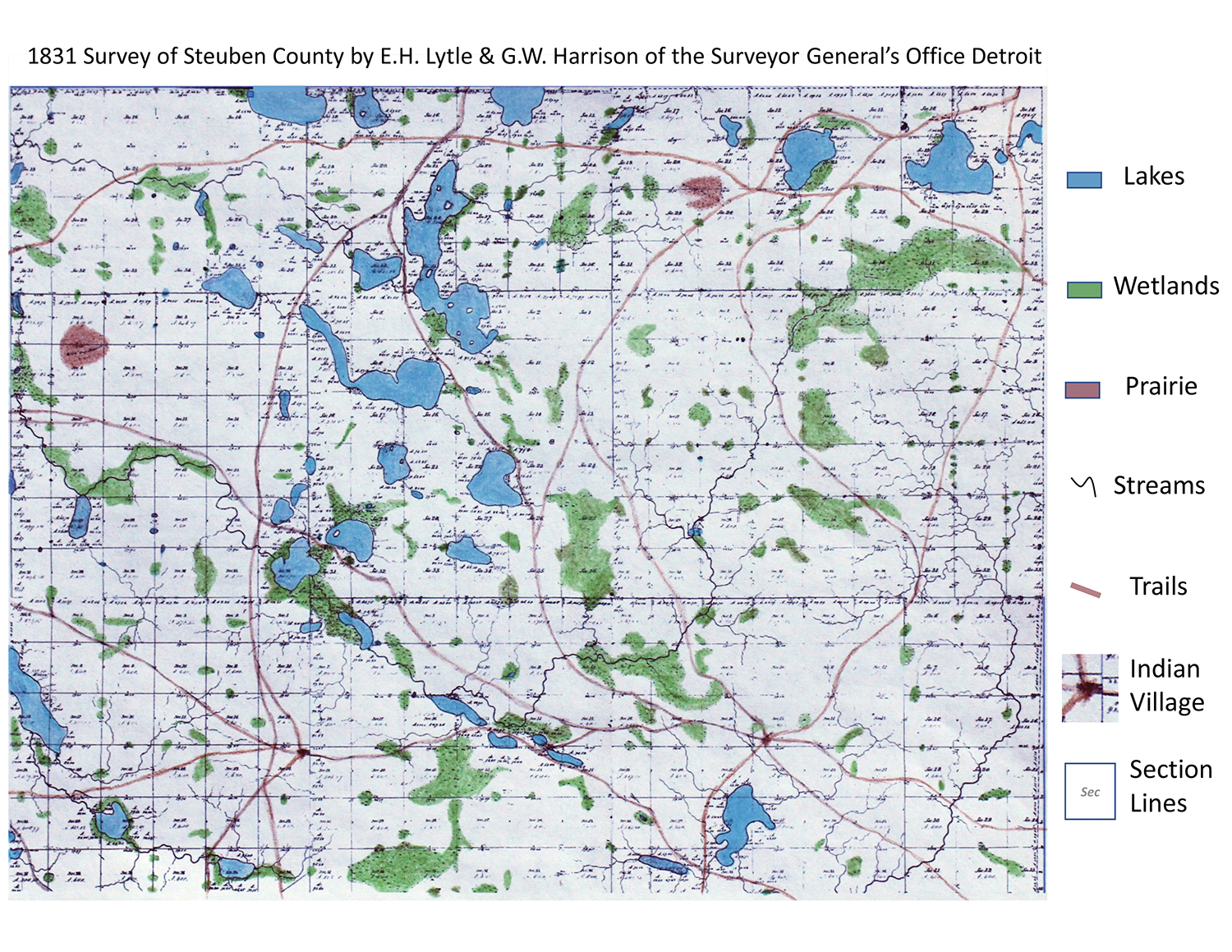
U.S. Government survey completed. This land was considered Fort Wayne – Coldwater trail. See map on page 13
The first settlers chose the prairie and oak opening areas of Jackson and Millgrove Townships in 1831.
1837
Steuben County was established by state legislature.
Dams and Mill Ponds significantly changed things, running mills by generating power with the water. See map on page 14
Made Jimmerson 12ft, Hamilton 11 ft and George 4ft deeper. Created Milldam Lake. Flint, Alvarado, and other mill ponds were drained.
Railroads and hotels provided access to the lakes
RAILROADS: St Joseph Valley Railroad 1907-1918 served many from Angola to Orland and onto Goshen. Traveling by Crooked Lake and Lake Gage/Lime Lake. Lake James Electric 1904-1918 served from Angola to Lake James South Point. Lake Shore Michigan Southern 1870 connected to town of Ray. Which improved access to Clear Lake. (short buggy ride)
HOTELS: total of 10: Pleasant Lake (2), Palty Town, Crooked Lake (3), Clear Lake (2), Lake George and Lake Gage.
Lake Plats – Subdivisions: 1st in1885 (Lake James), 8 in 1898, 39 in 1912. See Page 44
Portland Cement Factory (1899-1941) utilized the Marl at Big and Little Turkey Lake to make cement. Many of their workers lived in Elmira and Stroh. There was a railroad that was built from Helmer for this purpose.
Portland Cement Factory (1899-1941) utilized the Marl at Big and Little Turkey Lake to make cement. Many of their workers lived in Elmira and Stroh. There was a railroad that was built from Helmer for this purpose.
The first regulated drain – George Shrimplin – wetlands close to Long Lake in 1901. It rerouted Pigeon Creek from North side to East side.
Cedar Lake area (1880 – 531 acres) was turned into farmland in 1890. Later in 1970’s it was purchased by the DNR to build levees to retain water. By 2015, DNR now has 979 acres.
Steuben County citizens raised funds to purchase farmland around Lake James and Snow Lake. They donated the 580 acres to the State. The State purchased remainder to 707 acres. For a total of 1260 acres. To make the State’s 5th State Park name Pokagon State Park in 1927.The park was named after Chief Leopold Pokagon as he helped orchestrate the sale of the land to be donated in 1925.
1925
1947
LAKE PRESERVATION ACT See definition on Page 51
Sewers provided for more buildable lots and year-round homes. Higher Density use: Condos, Group Piers, Funneling.
